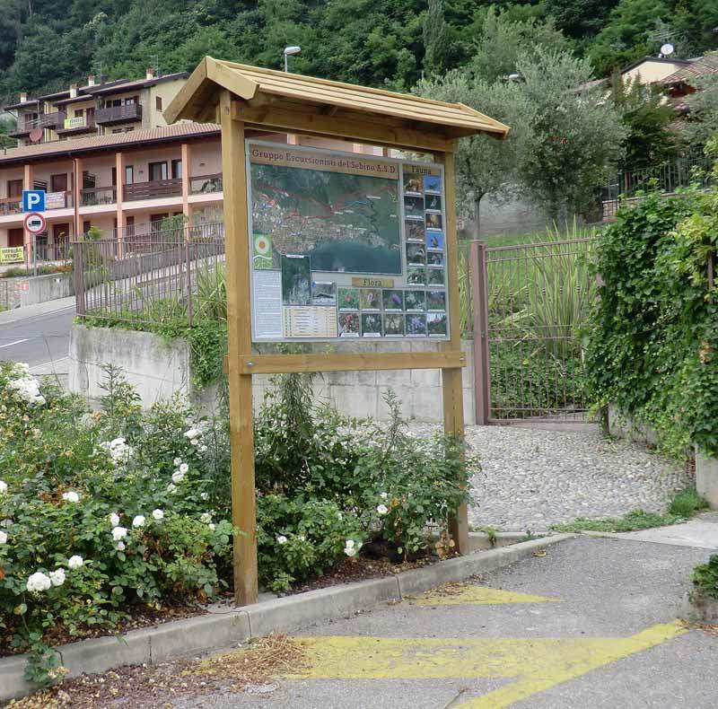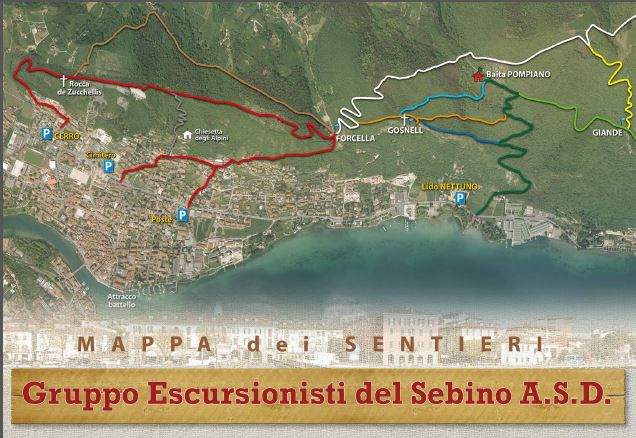
Maps of Sarnico trails
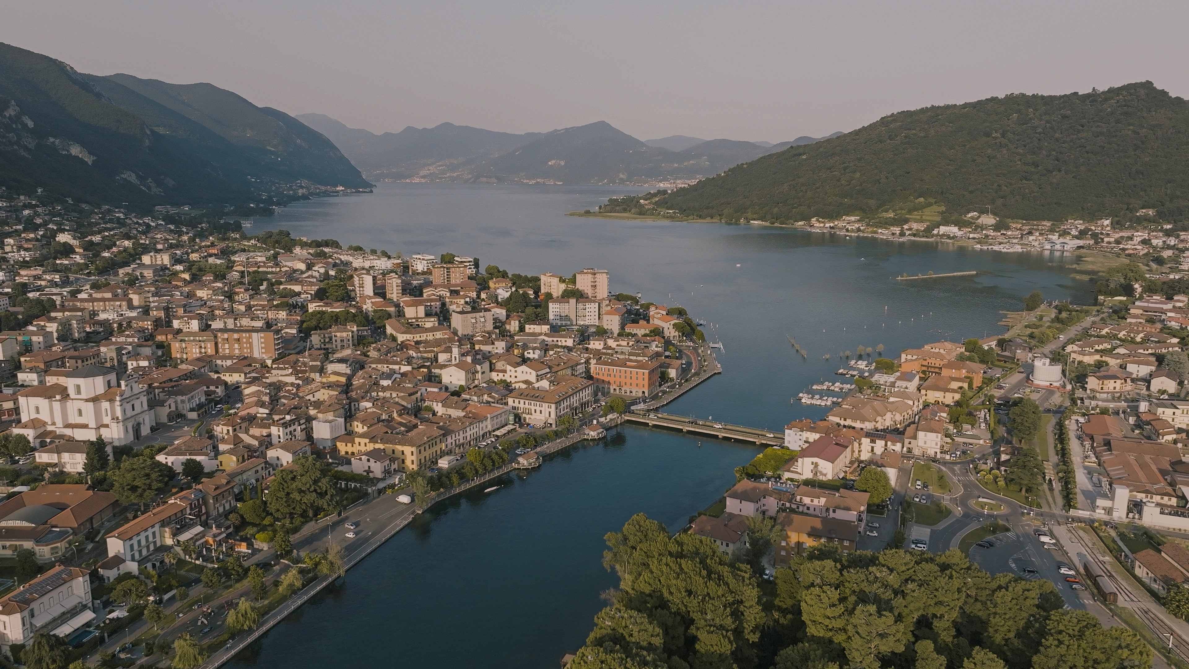
The geographical position of Sarnico at the edge of the Po Valley here meets the placid waters of Sebino and sees the birth of the first hills that constitute the prologue to rise to the north of the Orobic Pre-Alps and to the east of the first counterfeiters of the neighboring Valle Camuna. The median position between the mountains and the plain has favored over the decades the trail of paths that climb up the hills, where once the cultivation of vines, wheat, and haymaking activity, They gradually left the pass to the chestnut groves and the coppice to the summit of Monte Bronzone (mt. 1334); the latter with the Colli di San Fermo, the summit of the beach. The hiker who ventures into these places has a wide choice of sunny itineraries illuminated by the golden reflection of the lake if he decides to take paths that turn south, on the hills overlooking the Sebino. An example of this is the path marked with No. 701 which, with its route, connects the localities of Forcella and Pompiano, where the remains of the Pompià farmhouse (altitude 600 mt) still survive until 1990. It was then known for the cultivation of cereals, while today the town has been reborn with the construction of the "Baita di Pompano" by the Association G.E.S. (Gruppo Escursionisti del Sebino) which has here placed a reference point for social activities.
Or the hiker who wants to go into the valleys behind the lake can well walk along the path called T.P.C. (Trans Padana Centrale) until you reach the top of Monte Bronzone. Top from which the view sweeps over the entire arc of the Orobie, up to the majestic Presolana that ideally marks the border with the land of Val Camonica. From the top of the Bronzone looking south we find glimpses of the lake that creeps between the gulfs created by the hills, so still, in the not rare clear days, you can see the silhouettes of the Apennines and sharper imposing the Monte Rosa to the west. From the summit of the Bronzone, the descent can be retraced for the same itinerary or you can continue to the Colli di San Fermo.
Download the Map of the paths of Sarnico